


NWS Spotter Training Prepares Community for Severe Weather Season
March 16, 2026
The National Weather Service took another step toward strengthening severe weather awareness across northwest Kansas on March 16, hosting a weather spotter training at the Colby Event Center that drew more than two dozen storm chasers, emergency personnel, and community members.
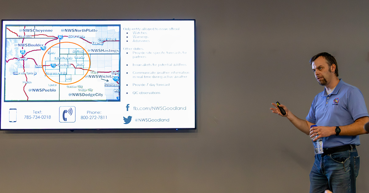
Led by Jesse Lundquist, Warning Coordination Meteorologist with the National Weather Service office in Goodland, the session focused on equipping attendees with the tools and knowledge needed to become effective storm spotters. Lundquist, whose role centers on public outreach and partner coordination, emphasized the critical importance of real-time, ground-level observations in improving weather warnings and public safety.
Throughout the evening, Lundquist guided participants through both foundational and advanced weather concepts, reinforcing how local reports directly enhance the accuracy of forecasts and warnings. Attendees were encouraged to save the NWS spotter text line, which allows trained observers to submit photos, video, and real-time conditions during severe weather events.
A key focus of the training was understanding the difference between a “watch” and a “warning.” Lundquist explained that a watch signals that conditions are favorable for severe weather over a broad area and longer timeframe, while a warning indicates that severe weather is imminent or already occurring and requires immediate action.

The training also highlighted recent changes in how the National Weather Service communicates risk. Updates from the Storm Prediction Center in Norman, Oklahoma, have shifted toward a more refined system using intensity groupings and probabilistic forecasting. Rather than relying on a single model, meteorologists now analyze a wide range of data sets to determine the likelihood of specific outcomes. For example, an 80 percent chance of snowfall between four and seven inches means that eight out of ten models support that range, providing greater confidence in the forecast.
Lundquist also reviewed notable weather events from 2025, including a 109 mph wind gust recorded in eastern Colorado, 3.5-inch hail near Perry, Nebraska, and multiple EF3 tornadoes across the region. He noted that while tornado reports were slightly below average, hail reports have declined due to fewer rural observations, while wind reports have increased as more residents install personal weather stations.
That trend underscores the importance of trained spotters. Lundquist stressed that reports of hail size, flooding, strong winds, and reduced visibility are often lacking, particularly in rural areas, and are essential for verifying radar data and improving warning accuracy.

A significant portion of the training focused on storm structure and identification. Participants learned how to distinguish between key features such as wall clouds, funnel clouds, and shelf clouds, as well as how to recognize a supercell thunderstorm by its rotating updraft. Lundquist also introduced basic radar interpretation, demonstrating how spotter reports help confirm whether dangerous conditions observed on radar are actually reaching the ground.
Interactive exercises challenged attendees to identify storm features from real-world images and determine whether certain formations were tornadoes or misleading look-alikes. Lundquist also warned that advances in artificial intelligence are making it increasingly difficult to verify storm photos, further elevating the importance of trusted, trained spotters in the field.
Safety remained a central theme throughout the training. Lundquist emphasized that dust storms are the deadliest weather hazard on the central plains, often causing near-zero visibility. Drivers encountering a dust storm were advised to pull completely off the road, put the vehicle in park, turn off lights, and wait for conditions to improve.
The session concluded with a reminder that spotters serve as the “eyes on the ground” for the National Weather Service. While radar provides a broad picture of storm systems, real-time reports from trained individuals allow meteorologists to issue more precise and timely warnings.
As severe weather season approaches, the March 16 training reinforced a simple but critical message: accurate information saves lives, and in northwest Kansas, that responsibility is shared between meteorologists and the communities they serve.
Key Takeaways for Readers
With continued community participation, efforts like the Colby training aim to build a stronger, more informed network of spotters capable of helping protect lives and property across the region.